Discover the largest, most detailed world wall maps available for classrooms, offices, and expansive homes. This guide spotlights giant, laminated, and visually striking world maps that are easy to read from a distance, ideal for teaching geography, planning travel, or simply decorating a wall with educational flair. The selected products emphasize size, durability, readability, and classroom-friendly features like dry-erase surfaces and long-term lamination. Use the comparison table below to quickly gauge which map best fits your space and needs.
| Product | Brand | Size (approx.) | Notes | |
|---|---|---|---|---|
| Maps International Mega-Map Of The World | Maps International | 46 x 80 inches | Yes, laminated with heat-sealed film | 1:20m scale; updated 2025 |
| Maps International Giant World Map Classic Large | Maps International | 46 x 80 inches | Yes, laminated | Classic styling; 1:20m scale |
| Swiftmaps 48×78 World Classic Premier | Swiftmaps | 48 x 78 inches | Two-sided laminated, 3 mil | Two-sided durable lamination |
| Rand McNally Classic Edition World Wall Map | Rand McNally | Varies by batch, large poster sizing | Laminated | Up-to-date and color-matched relief |
| National Geographic World Wall Map – Decorator | National Geographic | 46 x 30.5 inches | Laminated | National Geographic reference map |
Maps International Mega-Map Of The World

The giant, single-sheet world map measures an eye-catching 46 x 80 inches, using a 1:20m scale. This enlarged format makes it ideal as a focal display in classrooms, libraries, or large living spaces. The 2025 update brings high-detail political borders, colored countries, and clearly marked towns and cities. A heat-sealed laminate finish protects the map while serving as a write-on, wipe-clean surface for classroom activities or quick notes with dry-erase markers. The laminated surface supports repeated use without creasing or wear.
Maps International Giant World Map Classic Large
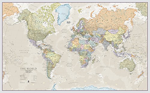
This 46 x 80-inch poster offers classic styling with distinct country colors to integrate with many decor schemes. The 1:20m scale provides detailed geographic information while keeping the map legible from a distance in classrooms or common areas. Laminated for durability, this map is designed for frequent handling and display without distortion. It’s well-suited for back-to-school environments or large family rooms where educational visuals are desired without sacrificing aesthetics.
Swiftmaps 48×78 World Classic Premier

This large 48 x 78-inch map is described as the largest rolled one-panel world wall map on Amazon, featuring two-sided lamination for durability and dry-erase usability. The UV-coated lamination helps resist fading and wear, making it suitable for high-traffic classrooms or offices. The two-sided design can be advantageous for different viewing angles or alternate content displays across spaces.
Swiftmaps 24×36 World Classic Premier
The 24 x 36-inch version offers a more compact option with durable 3-mil lamination designed for dry-erase use. While smaller than the mega maps, it maintains clean, legible lettering and clear country delineations that work well in classrooms, dorms, or home offices with limited wall space. Rolled packaging reduces creasing and makes setup straightforward for temporary displays.
Laminated World Map & US Map Set
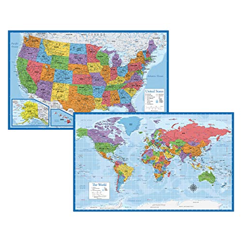
This laminated two-poster set includes a world map and a US map poster, sized 18″ x 29″ for versatile wall placement. The 3 mil lamination enhances durability for classrooms or home study areas, while the compact size makes it easy to arrange in smaller spaces or share a wall with other educational visuals. The set focuses on practical readability and quick reference for geography learners.
National Geographic World Wall Map – Decorator

National Geographic delivers a decorator-grade world map with durable lamination and a 46 x 30.5-inch footprint. This map emphasizes high-quality cartography and clear geographic detail suitable for classrooms, study rooms, or modern living spaces. The laminated surface supports frequent writing with dry-erase markers, while the National Geographic branding signals accuracy and reliability in geographic content.
Rand McNally Classic Edition World Wall Map

Rand McNally’s classic edition emphasizes up-to-date content with color-matching relief to highlight topography and mountain ranges. This wall map centers Africa to provide a comprehensive view of surrounding regions, supporting visual learning for students and adults alike. The laminated, rolled format aids long-term durability and easy mounting in educational spaces or home offices.
ICTEISOM World Map Tapestry

The ICTEISOM tapestry presents a different format: a world map tapestry wall hanging sized at 80 x 60 inches. It blends educational content with home decor, featuring national borders for a geographic reference while adding a soft textile aesthetic to bedrooms, living rooms, or dorm spaces. This option is best for wall art and ambient learning displays rather than rigid wall mounting.
Buying Guide: Key Purchase Considerations
When selecting a giant world wall map, consider size, readability, and durability. Large formats (46 x 80 inches or similar) provide dramatic impact and easier viewing from a distance, ideal for classrooms and rooms with generous wall space. Laminated, dry-erase surfaces support interactive activities, while two-sided lamination offers versatility in display angles. For decor-focused spaces, maps with classic styling or National Geographic branding can blend with home interiors while preserving educational value. If wall mounting is a concern, rolled maps reduce creasing and simplify setup. Finally, verify update recency to ensure political borders and country names reflect current geography. Compare sizes, lamination thickness, and whether a single-sheet map or a two-piece set best meets your display goals and wall dimensions.